The world's agricultural systems, mapped.
Demeter's library of data is standardised and globally comparable.
Fields Database
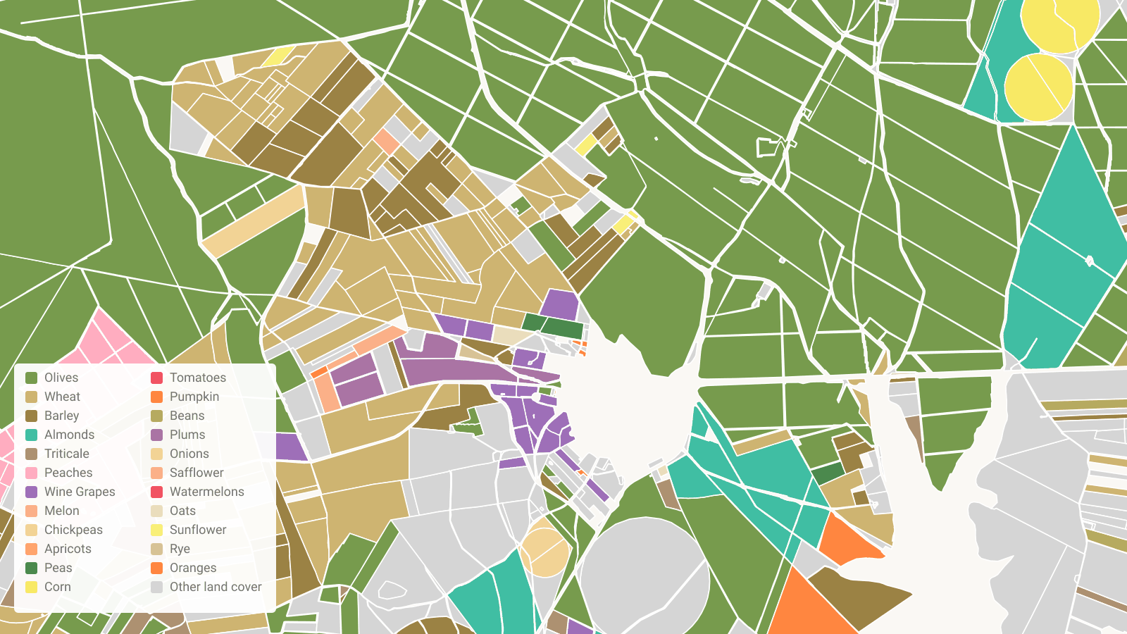
Every mapped field in one database, with its boundary, crop, planted year, irrigation and satellite history. Search any region, compare cohorts of fields, or pull a full report on a single field or cluster in minutes.
Field-level crop maps with planted year, water usage, terrain, soils, health and management indicators, through time and for every mapped field. Compare plantings and status of orchards, vineyards and row crops across regions.
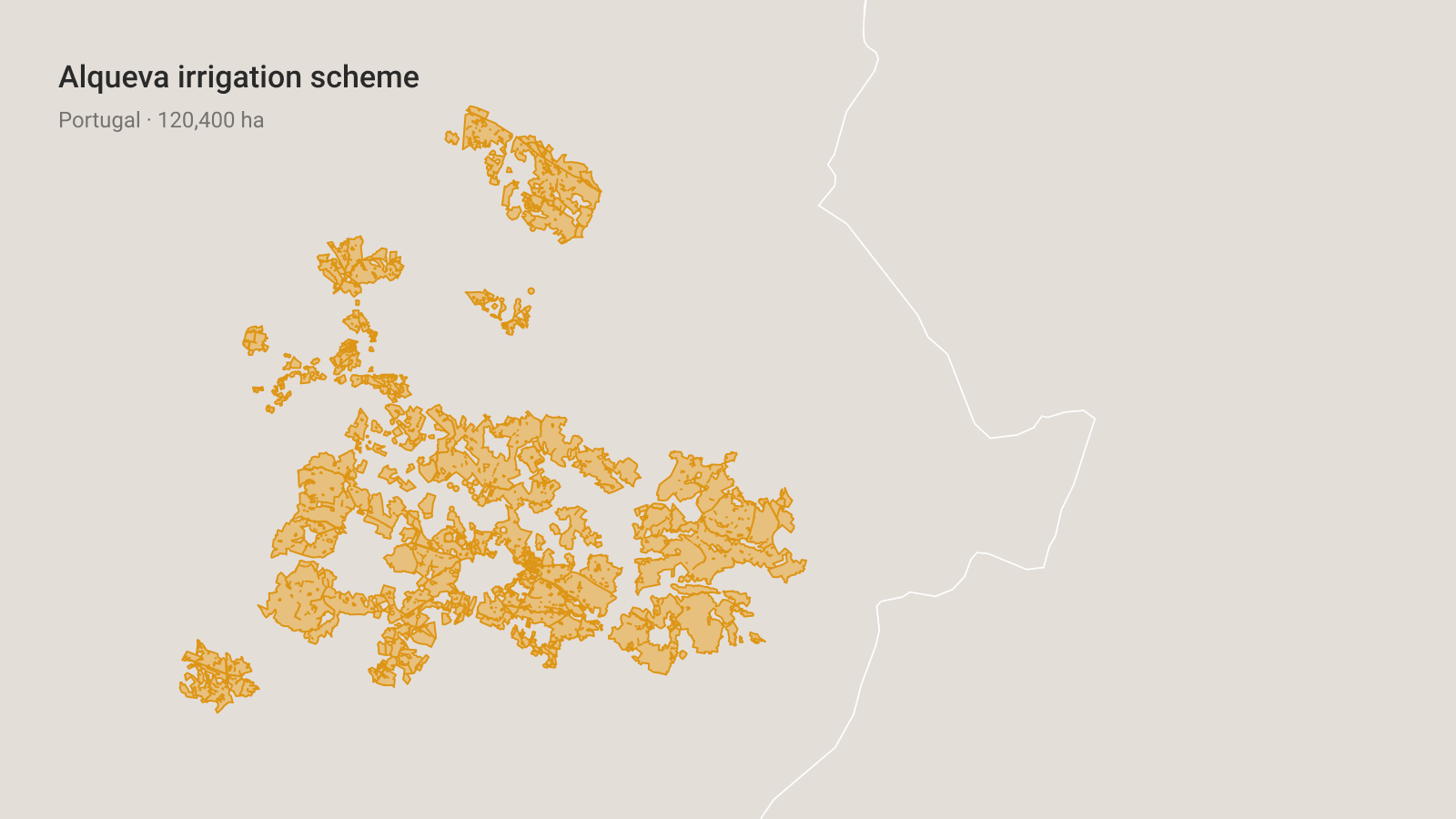
Irrigation schemes, aquifers, pricing and more. Read field-level water consumption and available sources, and observe differences across normal years and drought.
Chill portions, frost events, growing degree days, solar radiation, wind and precipitation for every field, combined with Demeter Growing Season Indices for select crops and regions.
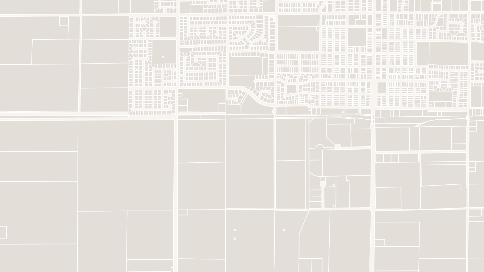
Cadastral parcels, special zones and protected areas aligned with the fields database. View the relationship between legal boundaries and mapped fields.
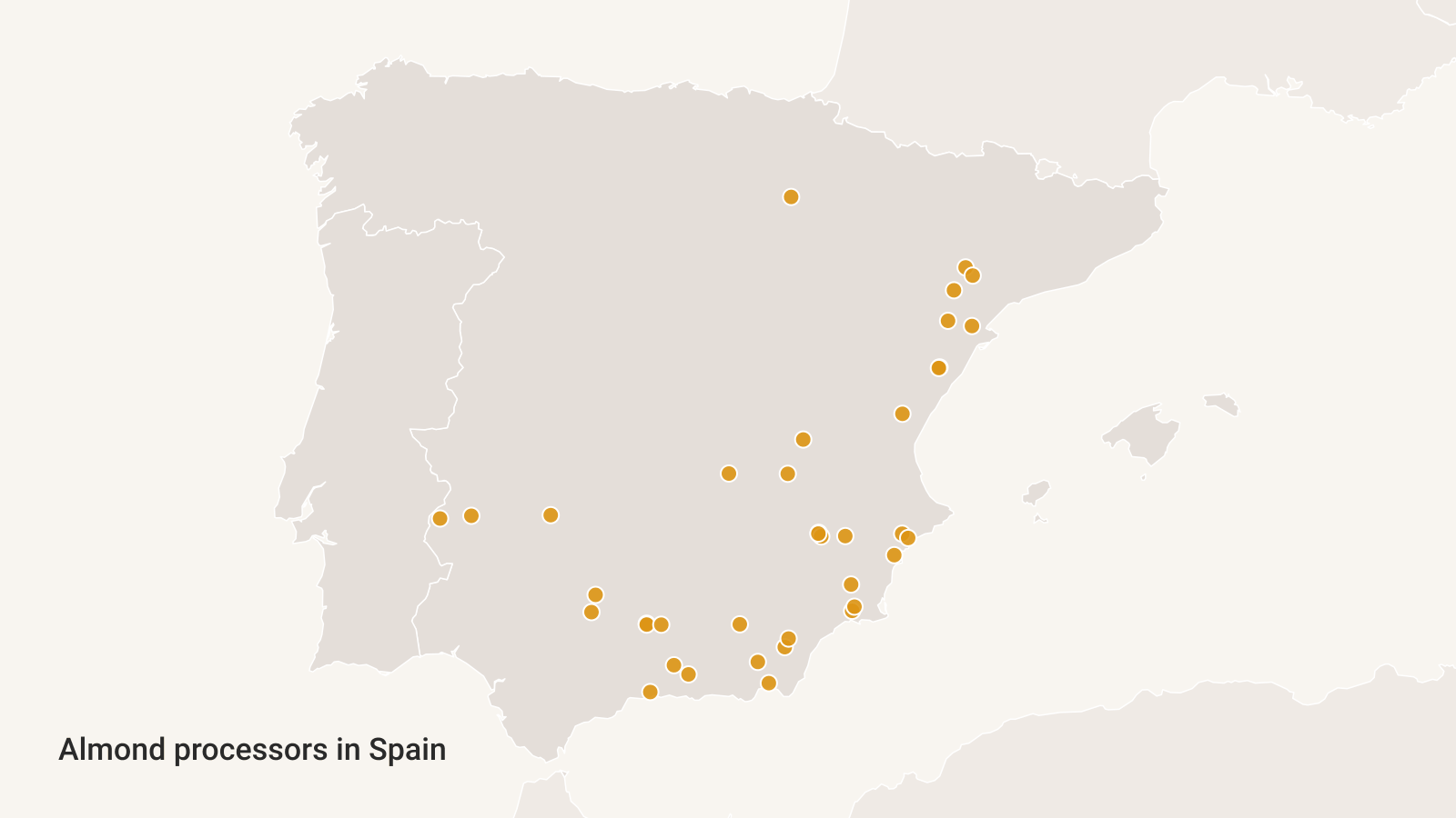
Processor locations, isochrone maps and distance matrix analysis connect a field to the infrastructure that can handle its crop. See which processors can be reached, and how quickly.